
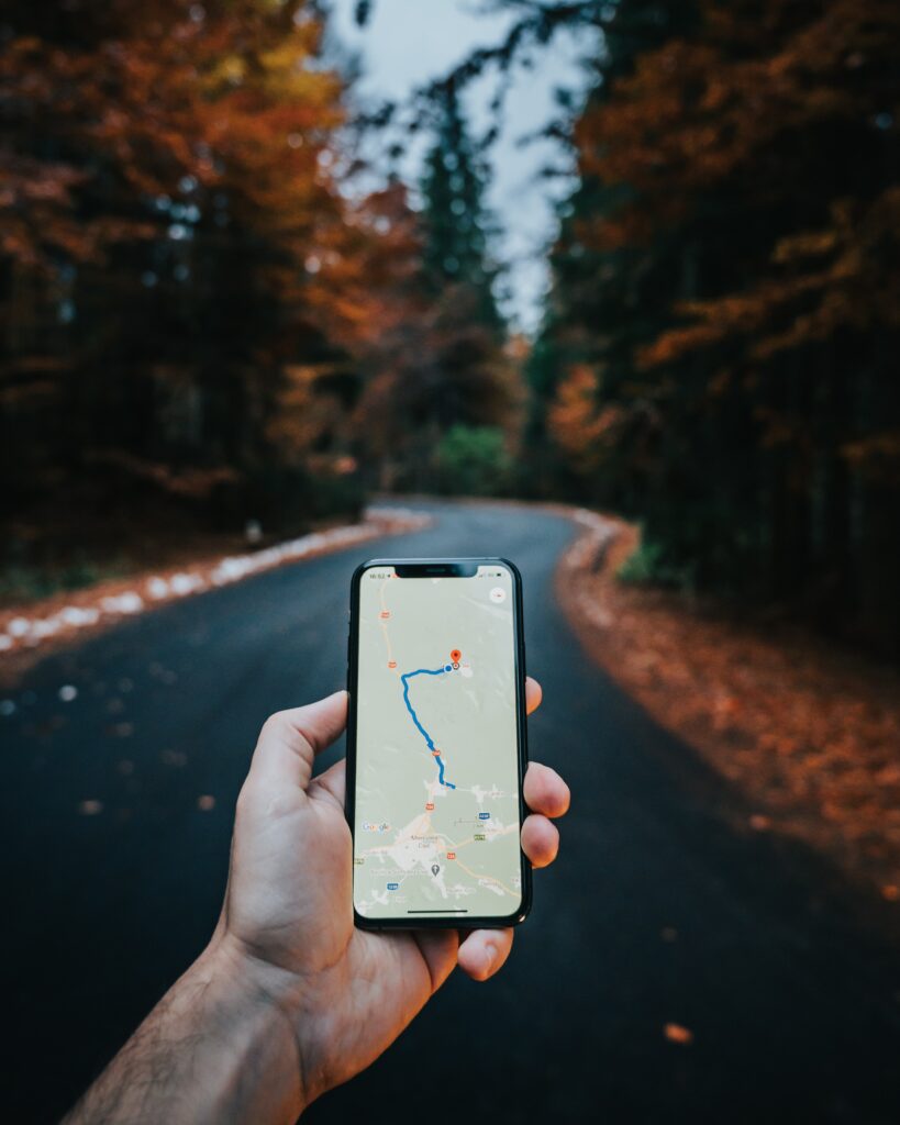
Creating a custom map sounds complicated, but it’s probably easier than you think. People often head to Google Maps for their mapping options, which usually works well when mapping a few points or planning out a route. Unfortunately, if you’re looking for more advanced customization, like mapping more than ten points on a map or optimizing your routes, you’ll need to look at third-party software.
Advanced mapping solutions are available independently, with some including Google Map integration. This integration relies on Google Maps GIS, operating as a reliable, secure, or accurate geographic foundation. Third-party mapping software often operates independently from Google but allows additional features and functionality limited within the original application.
GIS Mapping Software
GIS mapping software creates maps through location-specific data as a powerful visualization tool. Organizations targeting or offering services within a specific location may benefit from GIS software significantly when streamlining data analysis.
Geographic Information Systems (GIS) gather, store, and identify various images, boundaries, points, lines, and other topographic photography of geographical areas. This information incorporates realistic maps according to current data available, offering critical visualizations for individual and corporate analysis. It combines this information with geospatial data to create a base layer for personal data.
Using Third-Party Mapping Software Like Maptive
Maptive is mapping software built on Google Maps, with extensive customization features. Most mapping programs have a monthly subscription or purchase price associated with them but often include extensive options unavailable with Google Maps. A few mapping programs offer free software trials before purchase, allowing users to learn the software and the functionality overall before purchasing.
Customization varies by program but often includes custom data options, integrated API access, unlimited data set integration, and satellite image mapping. You’ll receive various possibilities, from heat map generation to boundary territories. Users can personalize the physical appearance of the map, including markers and color schemes.
Create a new account with the program and select the Create New Map button to get started. Name the map and select continue. From there, users can enter their data into the program through document upload, drag and drop, or manual input. When the data entry completes, select the continue button. All data points will automatically upload into the map.
Customizing the map will depend on the functionality you desire. Users can create a territory map, heat maps, radius functions, or develop routes with multiple stop support. These options are available under the map settings on the program. For companies trying to build a consumer profile, Maptive incorporates demographics and census mapping options, pulling population data from the U.S census to strengthen your understanding overall.
Using Google Maps Application or Website
Google Maps does allow some customization to their mapping platform, making it a viable option for anyone with minimal budget or experience. To create a custom map with the Google Maps application:
- Visit the Google My Maps Page.
- Click the menu icon on the top left of the application and select the Your Places option from the menu.
- Toggle to the Maps tab on the right-hand side of the options and choose the “Create Map” option from the bottom of the menu.
Once you’re on the map creation page, add markers to your map through the search functionality or manually add the marker. Users can add a title and description to any new marker, description, and attributes needed. Continue adding the markers until you’ve entered all data on the map. Save the map and give it a name under the map details.
Click on the three dots button and rename any map layers, using the base map to change the physical appearance. Google Maps does have a few design options available, but most settings aren’t customizable.
Using Google Maps API
Although the Google Maps application is somewhat limited for customization, the API function is ideal for anyone wanting to develop completely custom options within their mapping program. This method is arguably the most flexible option for individuals wanting control without paying for a program, but it has a steep programming requirement.
This method is quite complicated to build and can be rather time-consuming to develop the features you’d like. To create more than a basic map will require HTML, JavaScript, or other programming languages.